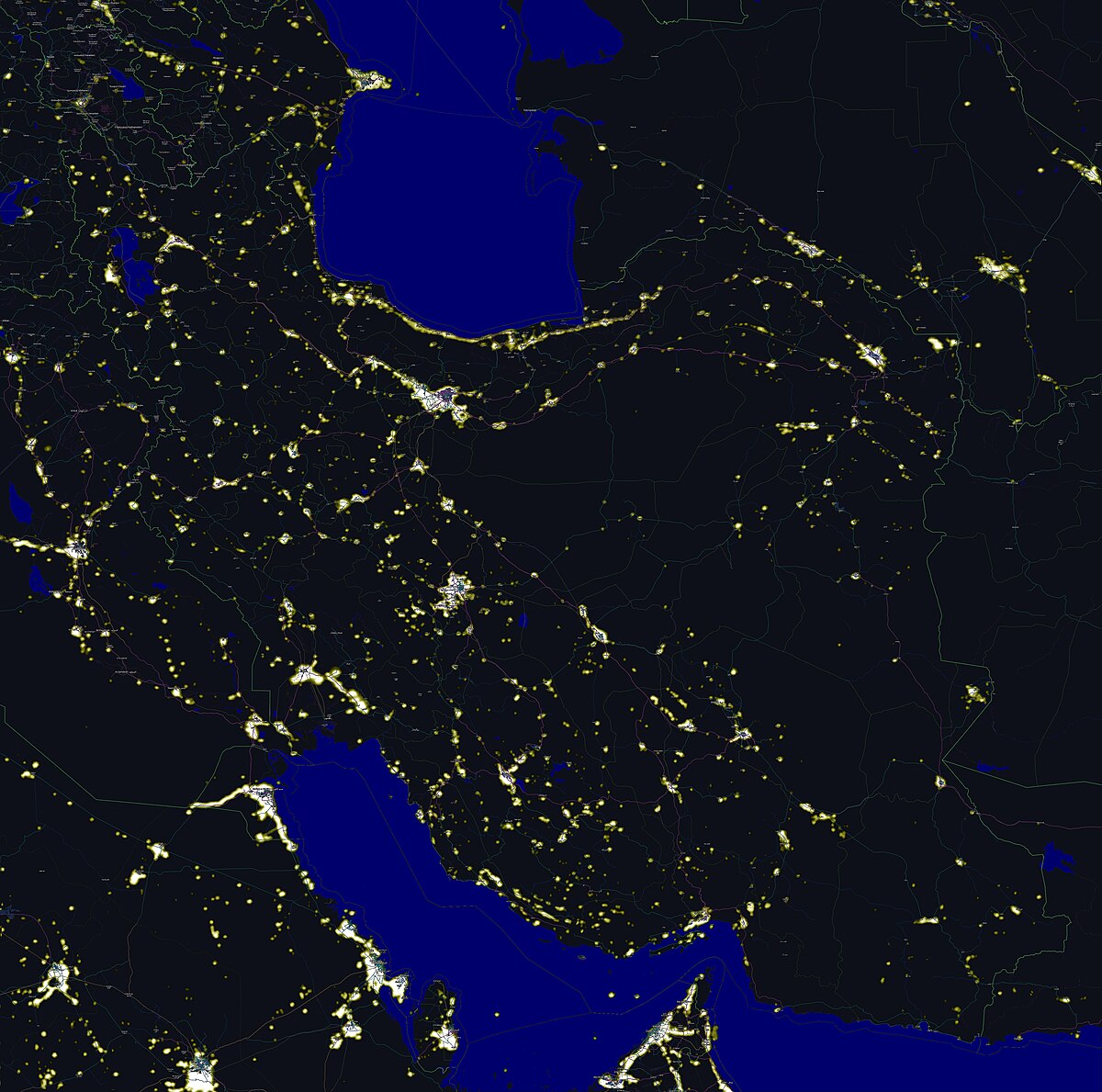
Middle east airspace closures map monitoring works only when you treat closures as a network event rather than a single-country problem. If one corridor closes over Iraq while neighboring routes tighten over the Gulf, airlines do not simply draw a new line; they re-plan fuel, crew legality, alternates, and slot timing across the whole schedule bank. That is why Persian Gulf route geometry and Gulf of Oman bypass lanes remain central context whenever escalation headlines spike.
For operational users, the key is sequencing. A closure notice, then altitude restrictions, then temporary reopening windows tells a different story than a full closure with no phased guidance. This page focuses on the variables that move first: FIR boundary constraints, NOTAM revision cadence, and congestion displacement into alternative corridors.

Where airspace closures start and why cascades follow
The first closure is rarely the biggest operational shock. The real disruption appears when adjacent FIRs impose partial constraints that push traffic into fewer waypoints. In recent regional alerts, direct overflight risk concentrated first in exposed inland corridors, but downstream delays appeared at hub airports hundreds of miles away. That pattern matters for civilian travelers because an itinerary can miss connection banks even when none of its booked airports officially close.
Cascades happen because aircraft cannot stack indefinitely in replacement tracks. Once alternate lanes approach sector capacity, air traffic managers impose miles-in-trail spacing, departure holds, or reroute metering. Those controls create secondary delay waves that often persist after initial headlines fade. Compare this dynamic with shipping lane disruption logic in Hormuz coverage: both systems absorb risk by constricting throughput, and both show delayed recovery after the first shock.
How airlines reroute around Iran, Iraq, and Syria
When the Iran-Iraq-Syria corridor tightens, dispatch centers usually choose between three families of alternatives: southern Gulf arcs, eastern Arabian Sea detours, or western Mediterranean transitions. Each option changes fuel burn and crew timing in different ways. Southern arcs can protect schedule integrity on medium-haul routes but increase congestion at specific Gulf waypoints. Eastern detours reduce direct overflight risk yet add substantial block time on Europe-Asia banks. Western arcs are often stable but can collide with peak traffic windows through Egypt and eastern Mediterranean sectors.
The practical implication is that rerouting is an optimization problem, not a binary safety switch. Airlines weigh risk advisories, NOTAM validity windows, and passenger misconnections against maintenance and crew constraints. That is why two carriers serving the same city pair can publish different cancellation decisions on the same day: their fleet mix, slot rights, and crew base geometry are different.
| Reroute family | Typical added time | Main pressure point | Best use case |
|---|---|---|---|
| Southern Gulf arc | +35 to +70 min | Waypoint congestion near hub banks | Short and medium-haul continuity |
| Eastern Arabian Sea detour | +60 to +120 min | Fuel uplift and crew duty limits | Long-haul avoidance during high alerts |
| Western Mediterranean transition | +45 to +95 min | Slot and sector sequencing | High-certainty operations with stable ATC flow |

What a middle east airspace closures map should track daily
A useful middle east airspace closures map is not just a static picture of no-fly polygons. It should track three moving layers: closure scope, closure duration certainty, and replacement corridor saturation. Scope tells you where traffic cannot fly. Duration certainty tells you whether planners can trust published windows. Saturation tells you whether routes that remain open can actually absorb displaced volume without major schedule decay.
For readers building a daily routine, the order of checks matters. Start with official notices from national civil aviation authorities and ICAO channels, then compare airline operational advisories, then verify if schedule banks are already slipping. By the time social feeds discuss mass cancellations, operational stress often started six to twelve hours earlier in dispatch and ATC constraints.
Delay cost models for passengers and cargo
Passenger delay cost is mostly nonlinear. A 45-minute extension on a point-to-point route is inconvenient; the same delay in a hub-and-spoke itinerary can trigger overnight misconnections, duty-time knock-ons for crew, and aircraft rotations that miss maintenance windows. Cargo networks feel similar pressure, but with extra penalties when temperature-controlled or just-in-time goods miss downstream transfer windows.
Because of that nonlinearity, operators do not wait for total closure before adjusting plans. They preemptively thin frequencies, upgauge selected flights, or shift departure waves to keep network reliability above a minimum threshold. Travelers who understand this pattern can interpret schedule cuts correctly: an early reduction is often a stability strategy, not evidence that all routes are unsafe.

Which hubs absorb the most reroute pressure
Reroute pressure concentrates at hubs that sit near mandatory transitions between closed and open FIRs. In practical terms, airports with strong east-west connectivity can see both arrivals and departures bunch into narrow windows. Ground operations then face compounded demand: gate turnover, pushback sequencing, and departure slot compliance all tighten at once.
The operational signal to watch is not only cancellation volume but variance in departure punctuality by time block. If early departures remain stable while late-evening banks drift significantly, that usually indicates corridor congestion rather than airport-specific disruption. This route-driven pattern appears repeatedly in conflict-linked closure cycles and should be read alongside regional military posture shifts that can reshape risk zones quickly.
How NOTAM language signals escalation or stabilization
NOTAM text contains stronger directional clues than headline summaries. Escalation language tends to broaden geographic references, reduce allowed altitude bands, and shorten notice intervals, forcing more frequent revalidation by dispatch teams. Stabilization language often does the opposite: clearer validity windows, narrower exclusion polygons, and explicit exceptions for transit under controlled conditions.
Analysts should track revision cadence as much as wording. Repeated edits inside a short time window indicate high uncertainty, even when each single edit seems minor. Conversely, if updates slow and validity windows extend, operators gain confidence to restore normal routing incrementally.
| Signal type | Escalation indicator | Stabilization indicator | Operational response |
|---|---|---|---|
| Geographic scope | Expanding polygons | Narrowing restricted zones | Reroute reserve planning |
| Time validity | Short, rolling windows | Longer fixed windows | Schedule confidence adjustment |
| Altitude restrictions | More restrictive ceilings/floors | Conditional transit bands | Route optimization and fuel recalc |
Is it safe to fly Middle East routes during alerts?
The question is it safe to fly middle east routes is understandable, but too broad to be useful. Safety is adjudicated route by route, altitude by altitude, and hour by hour as intelligence and regulator guidance change. Commercial carriers do not need proof of immediate impact to suspend a segment; they only need risk to exceed their internal threshold. That threshold is informed by regulator advisories, intelligence liaison, and historical incident patterns.
For non-specialist readers, the best method is simple: trust official airline notices, monitor regulator sources, and avoid interpreting viral videos as route-level evidence. The FAA advisory pages and ICAO safety channels provide better decision signals than social feeds because they reflect structured risk assessment and airspace governance.
Authority references: FAA Airspace Restrictions, ICAO Safety Portal, IATA Safety Resources.
Country-by-country closure patterns to watch
Iran and Iraq corridor coupling
Iran and Iraq closures are often coupled operationally because many long-haul tracks use adjacent transition logic. Even partial restrictions in one zone can force reroute decisions in the other when dispatch teams prioritize margin over marginal time savings.
Levant spillover dynamics
Levant corridors can experience rapid policy swings during acute events. When that happens, European and Gulf carriers often diverge in risk posture based on network exposure and fleet utilization strategy, producing uneven schedule outcomes for passengers.
Gulf hub buffering behavior
Gulf hubs tend to absorb stress through tactical schedule shaping before full cancellations. That can look like delayed departures, held connections, and selective retiming that keeps core long-haul banks alive while reducing secondary frequencies.
Readers tracking escalation pathways can cross-reference this behavior with proxy escalation ladder scenarios and missile risk index updates to distinguish temporary friction from persistent deterioration.

Reopening signals that matter more than headlines
Reopening begins before headlines announce normalcy. First you usually see fewer NOTAM revisions, then longer validity windows, then gradual restoration of preferred tracks for selected flight categories. Only after those steps do schedules normalize at scale. Analysts who wait for a single airspace reopened headline often miss a full day of meaningful improvement signals.
The most actionable reopening checklist has four items: stable notice cadence over two cycles, declining reroute time variance, reduced departure hold frequency at key hubs, and visible reduction in cancellation spillover to next-day banks. If all four improve together, recovery is usually durable. If only one improves, expect renewed volatility.
FAQ: Middle East Airspace Closures Map
Which Middle East countries close airspace first during escalation?
Directly exposed corridors typically move first, with tighter restrictions often appearing over Iran, Iraq, or adjacent conflict-facing transitions. Nearby hubs may keep airspace open but impose restrictive routing that creates similar operational effects.
How do airlines reroute flights when Iran or Iraq airspace closes?
They move traffic to southern, eastern, or western alternatives based on destination geography and corridor load. Dispatch teams then rebalance fuel, alternates, and crew duty windows to keep flights legal and reliable.
How much longer are flights when Gulf corridors close?
A common range is roughly 35 to 120 extra minutes, but network effects can exceed that during heavily banked periods. The largest delays usually occur when many carriers choose the same replacement tracks simultaneously.
Is it safe to fly through the Middle East during conflict alerts?
Safety assessment is route-specific and managed continuously by airlines and regulators. The strongest traveler guidance comes from official carrier notices and civil aviation advisories, not social-media speculation.
Related internal coverage: Map of Iran and Iraq border corridors, US-Iran relations signaling framework, and Live Iran war timeline archive.