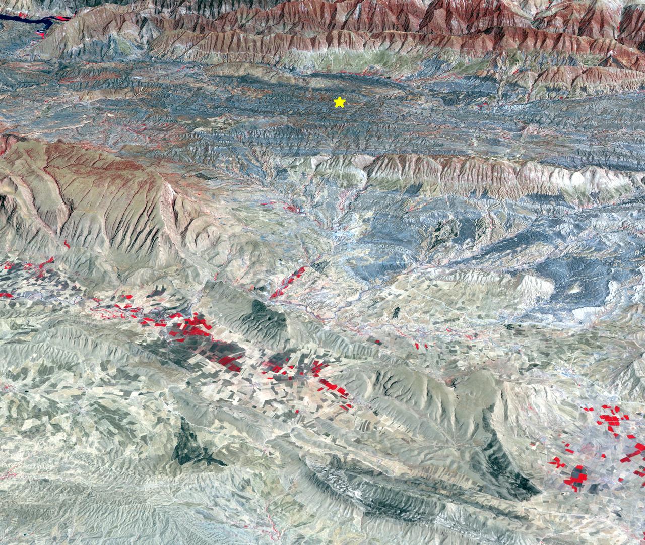
Nuclear facilities in Iran map interpretation starts with one practical point: the network is distributed by design, and each site contributes a different technical step that affects breakout speed, diplomatic leverage, and targeting logic. A useful map is not just dots on a country outline; it is a decision model that explains why Natanz outages can change enrichment throughput, why Fordow resilience alters strike packages, why Isfahan conversion capacity matters to feedstock continuity, and why Bushehr and Arak remain politically and operationally relevant even when they are not the first sites named in social media headlines.
For policy teams, market analysts, and security desks, the value of a current iran nuclear sites map is that it connects infrastructure to timing. If inspections tighten, the map changes from a static reference into a warning framework. If inspections narrow, the same map becomes a confidence-band estimate based on satellite signatures, logistics movement, and public statements. That is why this page keeps the geographic layer tied to inspection status, hardening depth, and plausible escalation pathways rather than treating each facility as an isolated point.
Where Are Iran's Nuclear Facilities Located?
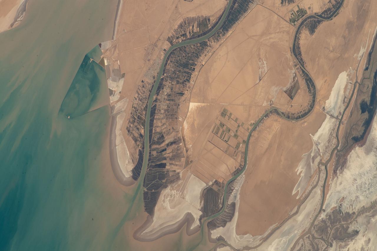
Most high-value nodes sit inland, which reduces vulnerability to short-warning maritime launches and complicates repeated strike cycles. Natanz is positioned in central Iran and has long functioned as a core enrichment location. Fordow is near Qom and is known for hardened construction that forces different munitions assumptions. Isfahan supports uranium conversion functions that influence feedstock continuity. Arak has reactor relevance and recurring signaling value in negotiations. Bushehr, on the Gulf coast, is power-generation oriented but still appears in escalation narratives because strikes there carry broader political and environmental implications.
When readers search for iran nuclear facilities map, they usually want one answer to three hidden questions: what each site does, how resilient it is, and which one changes strategic math fastest if disrupted. The map below answers those directly rather than mixing technical and political labels. In crisis reporting, that distinction matters. A headline can say "site hit" while leaving out whether enrichment cascades paused for hours, weeks, or not at all due to distributed redundancy. A serious map translates location into operational consequence.
| Site | Primary Role | Relative Hardening | Escalation Impact If Disrupted |
|---|---|---|---|
| Natanz | Large-scale enrichment hub | Mixed (above + underground) | Immediate throughput shock, medium recovery potential |
| Fordow | Hardened enrichment capability | High | High signaling impact, difficult confirmation of disablement |
| Isfahan | Conversion and process support | Medium | Feedstock and process-chain disruption |
| Arak | Reactor-linked strategic node | Medium | Diplomatic and narrative escalation pressure |
| Bushehr | Civilian power generation | Medium | Large political costs and wider regional concern |
What Is the Difference Between Natanz and Fordow?
The Natanz versus Fordow distinction defines most of the serious debate around iaea iran nuclear reporting and strike credibility claims. Natanz tends to be discussed as a throughput center: if you care about sustained enrichment capacity, you care about Natanz uptime and restoration tempo. Fordow, in contrast, is discussed as a survivability center: if you care about whether capability can be hidden, preserved, or reconstituted under pressure, you care about Fordow. Analysts who merge the two into one generic "enrichment site" category usually misread risk windows and overstate certainty after initial damage reports.
In practical terms, Natanz damage assessments often rely on visible indicators, repair traffic, and power-restoration patterns. Fordow assessments are harder because hardened structures reduce visible cues and can mask partial continuity. That difference alone changes policy choices. A government deciding whether to escalate, pause, or negotiate needs confidence in what actually changed. If the confidence band is wide, planners hedge. If planners hedge, crisis duration extends. That is why any accurate map of iran's nuclear sites should separate "visibility" from "vulnerability" rather than assuming the two move together.
How Isfahan, Arak, and Bushehr Fit the Same Map Without Serving the Same Purpose
One persistent error in conflict coverage is collapsing every location into a single storyline, usually "bomb program" versus "civilian energy." Real systems are more layered. Isfahan supports critical processing links that can influence whether enrichment pathways sustain pace. Arak carries heavy symbolic and negotiating weight because of long-running international focus around reactor configuration and safeguards. Bushehr is structurally different and tied to power generation, yet it still appears in escalation rhetoric because attacks near coastal civilian-energy infrastructure can trigger outsized diplomatic backlash and market shock.
That is why the best nuclear facilities in iran reference pages include strategic language discipline. A site can be essential without being identical in function to Natanz or Fordow. A strike can be technically limited yet politically expansive. A repair can restore one process stage while leaving the broader chain constrained. If readers track only one metric, they miss the operational picture. This page keeps those distinctions explicit so teams can separate real capability effects from narrative effects during rapid update cycles.
The same distinction helps financial desks and supply-risk analysts. Insurance pricing, energy futures, and shipping premiums respond less to technical detail than to expected conflict duration. If reports suggest a quick decapitation but mapping evidence implies distributed resilience, market assumptions on duration are likely wrong. That is where a detailed iran nuclear assessment anchored to site function becomes actionable beyond defense circles.
How Does IAEA Monitoring Work at Iran Nuclear Sites?
Monitoring confidence is the missing layer in many public maps. The International Atomic Energy Agency combines declared-site inspections, continuity tools (including cameras and seal systems), material accounting records, and sampling protocols. When all these channels are active, analysts can reconcile declared activity with measured behavior more reliably. When access narrows or continuity is interrupted, estimates widen and external observers move toward open-source methods: construction tempo, heat signatures, transport patterns, and periodic official statements.
In other words, the map and the monitoring system are inseparable. A precise location without recent verification can create false confidence. A less precise location with strong continuity data can support stronger conclusions. That balance is especially important for users comparing iran uranium enrichment claims across sources. Technical terms get reused in political messaging, but their evidence quality differs sharply. Readers should ask three questions every time: what was observed directly, what was inferred indirectly, and what remains unknown in the current reporting window.
2026 Escalation Scenarios Mapped by Site Type
A practical map should not stop at location labels. It should express what different strike or sabotage outcomes look like over time. Scenario A is temporary disruption: visible damage, fast repairs, limited strategic shift, heavy narrative noise. Scenario B is chain disruption: one site recovers but upstream or downstream processing remains constrained, creating multi-week throughput effects. Scenario C is confidence disruption: monitoring continuity degrades enough that all sides harden their assumptions, which can be destabilizing even without major new physical damage.
These scenarios are why keyword queries like iran nuclear weapons status and how close is iran to nuclear weapons produce contradictory answers across outlets. The divergence usually reflects different assumptions about continuity, substitution across sites, and real-time visibility. A map built for operational use states those assumptions up front. This page does that by tagging each node with likely substitution pathways and by separating immediate damage narratives from durable capacity outcomes.
| Scenario | Trigger Pattern | Most Affected Sites | Expected Duration |
|---|---|---|---|
| Temporary Disruption | Single-wave strike, rapid repair access | Natanz, Isfahan | Days to low weeks |
| Chain Disruption | Multi-node bottleneck formation | Natanz + Isfahan linked flows | Weeks to months |
| Confidence Disruption | Inspection/continuity degradation | All nodes, especially hardened sites | Indefinite uncertainty window |
Why This Map Should Be Read With Missile and Base Exposure Pages
Facilities do not exist in a vacuum. Strike feasibility, warning time, and retaliation options interact with missile range and regional basing architecture. Readers using this page as a standalone source should still pair it with our can Iran missiles reach US range explainer, our Al Udeid Air Base in Qatar operations profile, and our US vs Iran force-comparison analysis. That three-page combination gives a more complete model: target geography, delivery plausibility, and response capacity.
It also reduces the common error of assuming every alert implies immediate strategic breakthrough. In reality, map nodes, delivery systems, and political objectives move at different speeds. A single radar alert can dominate social feeds while leaving the underlying material balance mostly unchanged. Conversely, a low-visibility logistics shift can matter more than a dramatic headline. The purpose of this guide is to keep those layers distinguishable under pressure.
Data Quality Checklist for Nuclear Facilities in Iran Map Reporting
When breaking news starts to move, low-quality map graphics spread faster than verified updates. A disciplined nuclear facilities in iran map workflow therefore needs a repeatable quality checklist. First, verify whether the cited location is a declared facility, an adjacent industrial site, or a logistical waypoint. Second, separate "confirmed hit" language from "unverified impact" language. Third, identify whether the source offers direct evidence (imagery, official inspection record, geolocated footage) or inferential evidence (secondary reporting, anonymous claims, pattern matching). Fourth, note timestamp precision: a "today" label is meaningless without UTC or local time anchoring.
Analysts should also track update lineage. If ten outlets use the same original image without independent validation, that is one source, not ten. In map-heavy crises, source multiplication creates an illusion of certainty that can outpace actual evidence. The strongest iran nuclear facilities map workflows include explicit confidence labels such as high confidence, moderate confidence, and pending confirmation. Those labels help decision-makers calibrate risk instead of reacting to visual intensity alone. They also make corrections less politically costly when new evidence arrives.
A final discipline is differentiating infrastructure state from operational state. A structure can appear damaged while critical process equipment survives; a structure can appear intact while operations pause due to power, staffing, or contamination constraints. Mapping teams should mark both where possible. That dual-layer view prevents overreaction to cosmetic indicators and underreaction to process-chain disruptions that are not immediately visible in public imagery.
How Newsrooms and Risk Desks Should Use This Map During Fast Escalation
For newsroom use, this page works best as a baseline reference that gets annotated, not replaced, during each alert cycle. Editors should preserve a stable site-function table and update only fields that have changed: confidence level, access status, and observed disruption duration. Constantly rewriting core descriptions during a live event creates internal inconsistency and weakens reader trust. A stable baseline plus transparent delta updates produces cleaner reporting and better SEO durability because readers can understand what actually changed since the prior update.
For market and policy desks, the map should feed a scenario matrix, not a binary war/no-war toggle. One useful pattern is to assign each key site a status code (normal, constrained, disrupted, uncertain) and then model likely second-order effects: insurance pricing pressure, shipping risk premium shifts, diplomatic response tempo, and military posture adjustments. This method turns static geography into a decision support layer. It also clarifies when a dramatic headline is strategically minor and when a quiet logistics indicator is strategically major.
Longer term, organizations should maintain a crosswalk between facility nodes and external dependencies such as power corridors, transportation routes, and specialist workforce locations. That crosswalk makes recovery-time forecasting more realistic. A map that tracks only facility footprints misses the infrastructure systems that determine whether operations can resume. In repeated crisis periods, that omission leads to systematic overestimation of short-term recovery and underestimation of cumulative strain. A complete nuclear facilities in iran map model therefore connects technical nodes to the enabling environment around them.
FAQ: Nuclear Facilities in Iran Map
Where are Iran's nuclear facilities located?
They are distributed across central and southern Iran, with major nodes at Natanz, Fordow, Isfahan, Arak, and Bushehr. Distribution complicates single-point disruption and extends assessment timelines.
What is the difference between Natanz and Fordow?
Natanz is generally treated as a large enrichment throughput center, while Fordow is treated as a hardened survivability node. The distinction changes both strike design and confidence in post-strike assessments.
Which Iranian nuclear sites are most important in 2026?
Natanz, Fordow, and Isfahan remain the highest-impact trio for production-chain analysis, while Arak and Bushehr carry strategic signaling and political escalation consequences.
How does IAEA monitoring work at Iran nuclear sites?
It combines inspections, continuity tools, accountancy records, and sampling protocols. When one layer weakens, outside analysis leans more on satellite and logistics indicators, increasing uncertainty bands.
External references: IAEA, Arms Control Association, Nuclear Threat Initiative.